
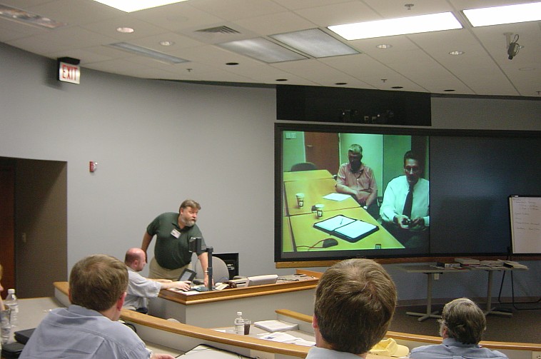
Mike Leegard presents, Ohio DOT (on screen) participates remotely
|
|
|
|
|
Mike Leegard presents, Ohio DOT (on screen) participates remotely |
The meeting was broadcast by live streaming video to those who could not be present in Madison.
NCRST would like to hold similar meetings in other regions, in the U.S. and abroad, to empower DOTs at the local level with technical awareness and cooperative initiatives.
| 0800 |
Introduction
and Opening — Al Vonderohe, University of Wisconsin-Madison |
| 0815 |
Welcome — Tom Carlsen, former Secretary, Wisconsin
DOT |
| 0830 |
Introduction
to Airborne Remote Sensing and Digital Photogrammetry — Frank Scarpace,
University of Wisconsin-Madison |
| 0900 |
NCRST project
overview — Val Noronha, University of California, Santa Barbara |
| 0920 |
Infrastructure Applications
using LIDAR — Reg Souleyrette, Shauna Hallmark, Iowa State University |
| 1015 |
Integrating
LIDAR and Automated Digital Photogrammetry — Frank Scarpace, University
of Wisconsin-Madison |
| 1045 |
Comparison
of Surface Models derived by Manual, LIDAR and Digital Photogrammetric
Techniques — Al Vonderohe, University of Wisconsin-Madison |
| 1115 |
Land Based
Remote Sensing for Transportation Construction Applications — Edward
Jaselskis, Iowa State University |
| 1200 |
Lunch |
| 1300 |
Michigan DOT Experiences with Digital Photogrammetry
— Frank Boston, Kelvin Wixtrom, Michigan DOT |
| 1325 |
Wisconsin
DOT Experiences with Low Altitude Flights using Aircraft with GPS — Paul
Hartzheim, Wisconsin DOT |
| 1350 |
Wisconsin DOT Entry into Softcopy Photogrammetry
— Ken Brockman, Wisconsin DOT |
| 1415 |
Iowa DOT Experiences with LIDAR — Alice Welch,
Iowa DOT |
| 1445 |
Ohio DOT Experiences with Airborne Remote Sensing
— John Ray, Ohio DOT |
| 1515 |
Minnesota DOT Project Experiences in Testing
Spatial Sensing Technologies — Mike Leegard, Minnesota DOT |
| 1545 |
State DOT Roundtable — Mike Leegard, Minnesota
DOT, Moderator |
| 1645 |
Summary and Closing — Al Vonderohe, University
of Wisconsin-Madison |
Special thanks to Nick Koncz for a great job organizing the meeting.